A CARIBBEAN COURSE TO CONSIDER
Sailing the Caribbean island arc flips the Mediterranean playbook upside down. Instead of calm mornings building into afternoon thermal breezes, the winter and spring easterly trade winds blow day and night between 15 and 24 knots. You rarely back down to a concrete town quay; instead, your daily rhythm centres on reef-protected leeward bays, colour-coded mooring balls, eyeball navigation under high overhead sun, and dinghy runs ashore.
Whether you are plotting a forgiving line-of-sight loop around Tortola or tackling open-ocean inter-island channels in the Windwards, the way you sequence your stops determines whether every passage feels like an effortless reach or a wet, slamming beat to windward.
THE BRITISH VIRGIN ISLANDS: TORTOLA, VIRGIN GORDA & JOST VAN DYKE
The Benchmark Protected Cruising Oval
Ringed by Tortola to the north and a chain of smaller volcanic islands to the south and east, the Sir Francis Drake Channel shields crews from heavy Atlantic groundswell while preserving brisk 15-knot trade winds. Almost every leg spans 4 to 14 nautical miles, making it possible to visit two distinct stops each day.
Counter-Clockwise vs. Clockwise Sequencing: The classic counter-clockwise loop departs Road Town or Nanny Cay, hops 6 miles across to Norman Island (The Bight or Benures Bay), works upwind in short tacks via Cooper Island and Salt Island to Virgin Gorda's North Sound (Leverick Bay, Saba Rock, and Bitter End), then enjoys an exhilarating 14-mile downwind reach to Anegada or westward to Cane Garden Bay and Jost Van Dyke (Great Harbour and White Bay). Putting the upwind work into North Sound early in the week guarantees that your final two days from Jost Van Dyke back through Soper's Hole are broad reaches on flat water.
- Daytime National Park Moorings: The Baths (Virgin Gorda), The Indians & The Caves (pelican snorkeling off Norman Island), Monkey Point (Guana Island).
- Protected Overnight Harbours: Gorda Sound, Cane Garden Bay, Great Harbour (Jost Van Dyke), Trellis Bay.
- Open-Shelf Excursion: The 14-mile reach north to Anegada's coral horse-shoe reef—attempt only in settled swells below 6 feet with midday overhead sunlight.
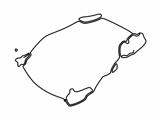
Schematic BVI counter-clockwise course — non-navigational illustration.
ST. VINCENT & THE GRENADINES: BEQUIA TO THE TOBAGO CAYS
Authentic Island Culture and Horseshoe Barrier Reefs
Stretching south from St. Lucia and St. Vincent toward Grenada, the Grenadines reward experienced crews who enjoy livelier open-water channels between islands and untouched reef lagoons. Because the islands form a north-to-south necklace perpendicular to the northeast trade winds, nearly every passage is a fast beam or broad reach southward and a close reach northward.
Route Sequencing Logic: Starting from Blue Lagoon on St. Vincent (or on a 10-to-14 day itinerary from Marigot Bay/Rodney Bay in St. Lucia), make the brisk 9-mile crossing of the Bequia Channel to Admiralty Bay on Day 1. After clearing provisions in Port Elizabeth, hop south past Mustique (Britannia Bay) and Canouan (Charlestown Bay) to the crown jewel of the region: the Tobago Cays Marine Park. Anchoring inside Horseshoe Reef behind Baradel and Petit Bateau lets you swim with green turtles over white sand while Atlantic rollers break harmlessly on the outer coral shelf. Round out the southern turn at Saltwhistle Bay on Mayreau and Clifton Harbour on Union Island before stepping northward in measured morning legs.
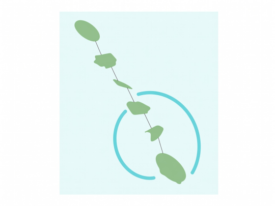
Schematic Windward route diagram — verify reef passes on hydrographic charts.
ANTIGUA HARBOURS & ST. MARTIN / ANGUILLA REACHES
Historic Nelson's Dockyard, Green Island, and Prickly Pear Cays
In the central Leewards, two very different route styles stand out. Antigua offers a compact self-contained circuit where you never have to clear customs: start in historic English Harbour or Jolly Harbour, tuck behind Green Island in Nonsuch Bay on the eastern reef, anchor off Great Bird Island in the North Sound, and spend tranquil nights at Deep Bay or Carlisle Bay.
Further north, St. Martin, Anguilla, and St. Barthélemy combine French bakeries and duty-free marinas (Marigot and Anse Marcel) with 8-to-15 mile open-channel reaches across the Anguilla Channel to Road Bay, Crocus Bay, and the uninhabited Prickly Pear Cays, or south-southeast to Columbier Bay and Gustavia on St. Barts.
PREPARE FOR TRADE-WIND PASSAGES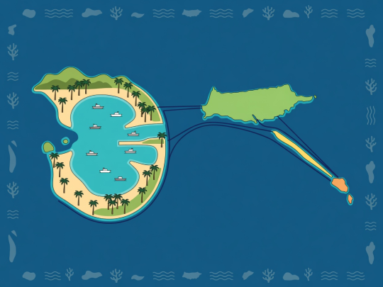
Illustrative Leeward hub overview — non-navigational.