ISLAND CHAINS OF THE MED
The Mediterranean is not a single cruising ground; it is a patchwork of distinct micro-basins governed by local thermal breezes, underwater topography, and harbour traditions. A crew accustomed to picking up lazy lines in Croatia's ACI marina network will find a very different daily cadence when dropping bow anchors and tying long lines ashore in the Greek Ionian or reading the summer Meltemi across the central Aegean.
Below, we break down the four cornerstone Mediterranean island-hopping chains by how their stops connect—helping you pair your crew's appetite for open-water sailing with the right afternoon harbour shelter.
THE SOUTHERN IONIAN: LEFKAS TO ITHACA & KEFALONIA
Calm Mornings, Afternoon Maestros, and Olive-Lined Coves
Protected by the high limestone spines of Lefkas and Kefalonia to the west, the Inland Ionian Sea acts like an immense sheltered lake. Mornings are typically flat calm—ideal for motoring out of port, stopping at a white-pebble cliff bay like Afales or Atokos One House Bay for a two-hour breakfast swim, and waiting for the northwest Maestro thermal breeze to fill in around 13:30.
Route Sequencing Logic: Start from Lefkas Marina or Preveza, slip down the dredged Lefkas canal, and use Meganisi's northern finger bays (Spartochori and Port Atheni) as your first-night staging post. From there, cross the 9-nautical-mile channel to Fiskardo on Kefalonia or Vathy on Ithaca. Because Fiskardo fills early with flotillas, an alternative sequence anchors long-lined at Kioni or Frikes on Ithaca, then hops eastward to untouched Kalamos and Kastos before returning north with afternoon breezes on the beam.
- Primary Base Hubs: Lefkas Town Marina, Preveza Cleopatra Marina, Corfu Gouvia (for 14-day routes).
- Signature Swim Bays: Cliff Bay (Atokos), Vathiavali on the mainland coast, Filiatro Bay (Ithaca).
- Harbour Highlights: Kalamos harbour run by George the harbourmaster, Venetian-era Fiskardo, and sheltered Sivota bay.
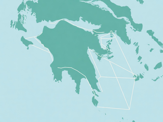
Schematic diagram of Southern Ionian connections — not for navigation.
SARONIC & ARGOLIC GULFS: ATHENS TO HYDRA & MONEMVASIA
Classical Ports Without Full Meltemi Exposure
When the July and August Meltemi blows Force 6 to 7 through the central Cyclades, the Saronic and Argolic Gulfs remain remarkably manageable at Force 4 to 5. Departing Alimos (Kalamaki) or Lavrion, crews can step onto Aegina or Agistri within three hours of casting off, avoiding any brutal first-day upwind slog.
Route Sequencing Logic: The classic mistakes in the Saronic are arriving at Hydra after 14:30 (when rafts are already three deep and anchors cross on the rocky bottom) or leaving the 28-mile return leg to Athens until Friday afternoon when the thermal southerly builds a steep chop. Instead, push south quickly on Days 1 and 2 via Poros and Hydra, spend mid-week in the calmer Argolic waters around Spetses, Porto Heli, or historic Nafplio, and work back via Epidaurus and Perdika so your final Friday passage is a relaxed 16-mile morning reach.
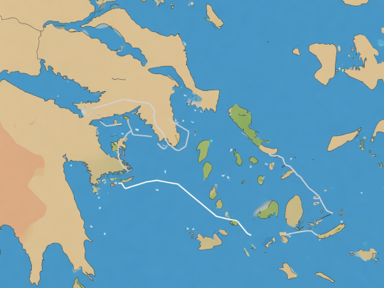
Illustrative Saronic sequence — consult official Greek Waters Pilot for harbour depths.
CENTRAL DALMATIA: SPLIT, BRAČ, HVAR, VIS & KORČULA
Elongated Limestone Ridges and Organized Mooring Fields
Croatia's central Dalmatian islands lie parallel to the Dinaric Alps, creating natural east-west channels where the afternoon Maestral funnels reliably between 12 and 20 knots. Unlike Greece, where municipal quays are inexpensive or free, Dalmatia features high-spec ACI marinas, restaurant-operated mooring buoys (konobas), and paid national park or harbour authority fields.
Route Sequencing Logic: Saturday traffic choking the Splitska Vrata channel between Šolta and Brač is easy to bypass by spending Night 1 in Maslinica or Sesula Bay on western Šolta, or Milna on Brač. From there, strike outward to Vis Island (Komiža or Vis Town/Kut) early in the week while the weather window is clear. Coming back inland, use the Pakleni Islands (Vinogradišće or Palmižana) as your staging anchorage to visit Hvar Town by water taxi, then run down the Hvar channel to Korčula's walled citadel before looping home via Stari Grad or Bobovišća.
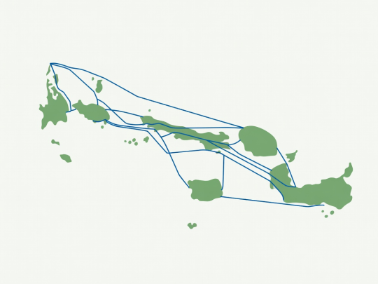
Schematic Dalmatian route plan — non-navigational vector diagram.
NORTHERN SARDINIA & LA MADDALENA TO BONIFACIO
Granite Sculpts, Emerald Lagoons, and the Strait of Bonifacio
Bridging northeast Sardinia and southern Corsica, the Maddalena Archipelago and Lavezzi Islands offer water clarity rivaling the tropics alongside dramatic Franco-Italian port towns. However, the Strait of Bonifacio accelerates westerly winds by two full Beaufort levels due to the Venturi effect between the two main islands.
Route Sequencing Logic: Departing Portisco, Cannigione, or Olbia, spend Day 1 calibrating your crew among Caprera's sheltered coves (Cala Portese or Porto Palma). Cross the Strait to Bonifacio's spectacular limestone fjord only when the forecast promises westerly winds below 18 knots. On high-wind days, stay tucked inside the Maddalena national park moorings around Spargi, Budelli's Porto della Madonna lagoon, and Razzoli.
EXPLORE HARBOUR & BAY MECHANICS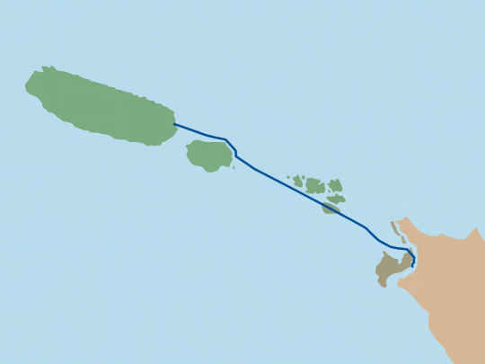
Schematic strait diagram. Requires official park permits and navigational charts.